|
||
|
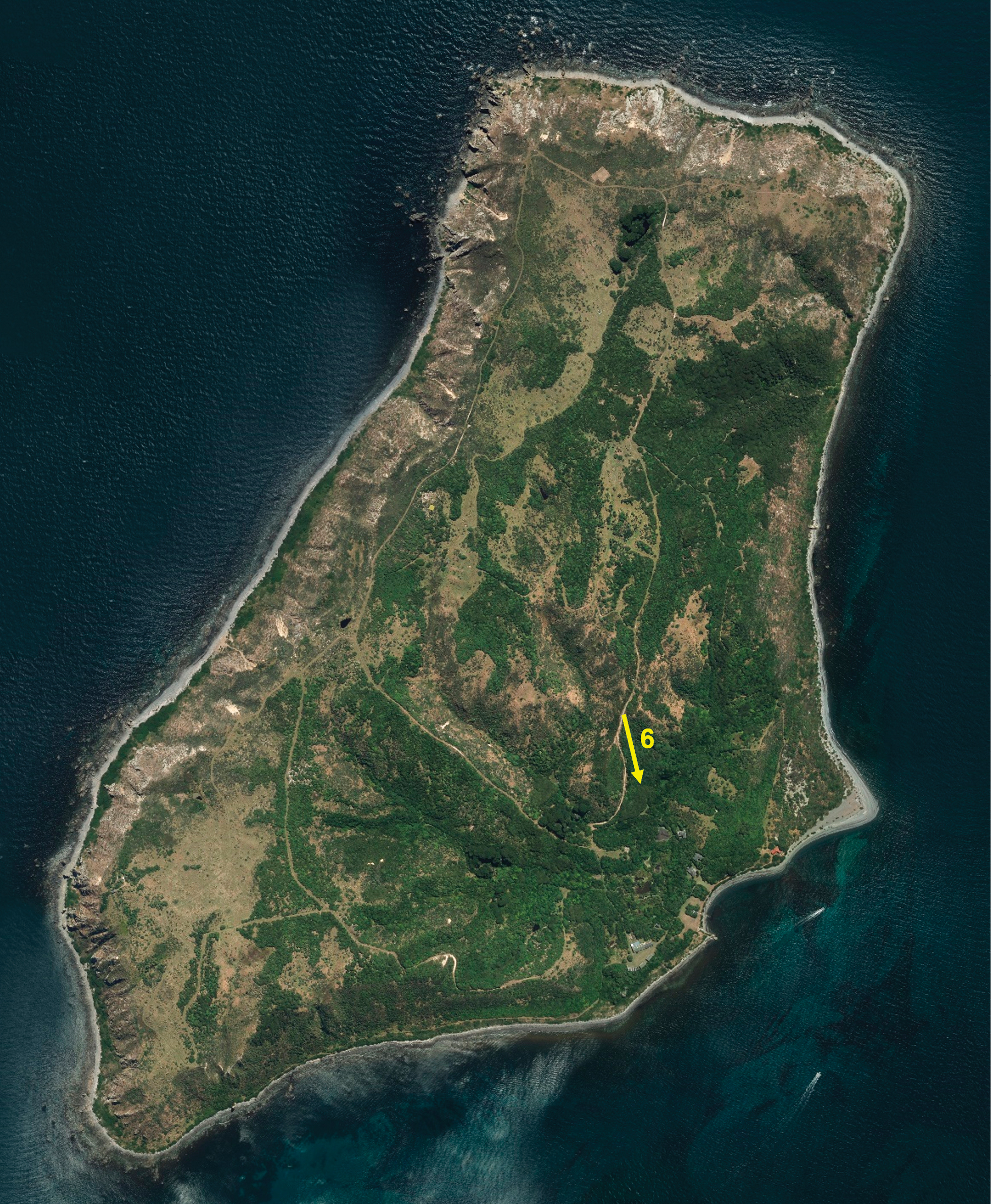
Aerial photograph of Mana Island taken in 2021, showing the extent of planted and regenerating forest. The yellow arrow shows the location and direction of the image taken by Don Newman in February 1986 (see Fig. 6). Base image from RetroLens.co.nz, reproduced under Creative Commons, LINZ CC-BY 3.0. |